Map Reading and Navigation Courses in The Derbyshire Peak District.
 |
| Dark Peak Map and Silva type 4 Compass |
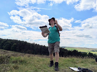
Being able to read a map and to navigate
gives you the freedom to plan your own routes and give up using books of
walks. Scouring the map finding
places of interest then planning your own route is so much more rewarding than
following a book! Take for example Bamford Moor in the Peak District, it has
two stone circles but no path marked on the map to either of them. If you know how to read a map you can
make a fabulous circuit from Ladybower’s Heatherdene car park and visit them
with stunning views over the reservoirs, Win Hill and the Derwent Valley.
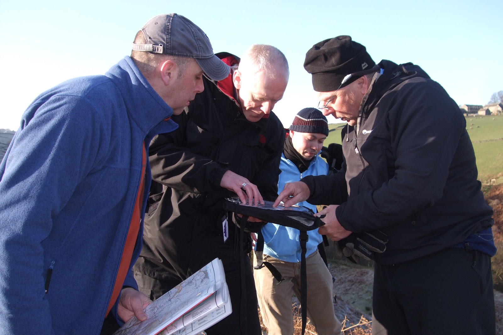
Peak
Navigation Courses run two introductory level Map
Reading and Navigation Courses that will leave you equipped for planning and
undertaking such a route:
 |
| 1st Steps to Map Reading and Navigation Course |
A Day courses taking you from the very
basics of map reading with a mixture of classroom sessions and two walks one
through fields and the other over easy moorland.
Peak Navigation run a range of more
advanced courses too including a Night Navigation course (3 hours) aimed at
looking at the slightly different techniques required to navigate in poor
visibility.
Both the 1st Steps to Map Reading and the Introduction to Moorland Navigation Courses are based from
Foolow in the Peak District National Park. Mike and Jane who run Peak Navigation Courses are both
qualified International Mountain Leaders and Rock Climbing Instructors and have
been running navigation courses since 2005.
 |
| Introduction to Moorland Navigation Course |